2013 and 2017
Our involvement
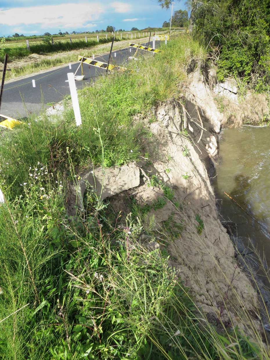
Review of our previous geotechnical investigations and walkover assessments of various sections of the river bank following episodes of erosion, to determine the mechanisms influencing the riverbank instability.
Project challenges
If unchecked, the riverbank erosion would potentially impact on the principal access road for trucks during the sugarcane harvesting season and, in one location, could potentially impact on the town’s water supply. JK Geotechnics was tasked with assessing risk levels and developing a landslide risk management strategy that would maintain the riverbank stability, keep the road open during the upcoming sugarcane harvesting periods and protect the town’s water supply.
Our solutions
JK Geotechnics completed risk analyses using the current RMS risk analysis guidelines and slope stability analyses. The proposed Council riverbank erosion protection measures were demonstrated to improve stability to an acceptable level for both the road (with occasional single-lane closures and traffic control) and the water supply pipeline.


